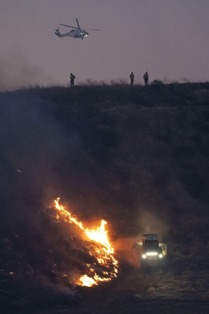
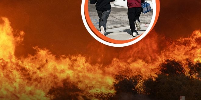
Los Angeles County is currently being ravaged by fires with new ones popping up randomly. One of the latest wildfires, the Hughes Fire, has necessitated evacuations as it burns through more than 10,000 acres.
The Hughes Fires are one of the blazes that began on January 22, 2025. The California Department of Forestry and Fire Protection (CAL FIRE) gave an update on its website on the progress of extinguishing the blaze and measures to evacuate.
CAL FIRE initially revealed on X, formerly Twitter, that the Los Angeles County fire has affected 3,407 acres in the Castaic area. Evacuations had begun with the department working with the federal and local partners.
They were “using pre-positioned resources on the initial attack of this fire.” However, in its 11: 36 a.m. website update on Wednesday, CAL FIRE revealed that the Hughes Fires had affected the Los Angeles and Ventura Counties, 10,176 acres, with 14% of the blaze contained.
To assist in maintaining the fires, road closures have been implemented in the following places: Ridge Route Road at Lake Hughes and Templin Highway, Lake Hughes at Pine Cyn, Dry Gulch at San Francisquito Cyn Road, and I-5 NB at Parker Road off-ramp.
The I-5 NB at Lake Hughes Road off-ramp, Northbound I-5 all lanes closed just north of State Route 126, and I-5 Grapevine. The evacuation orders are put in place to avoid the “immediate threat to life.” People are urged to evacuate immediately as the area has been closed to public access.
These are the places affected: CAS-BISCAILUZ, CAS-BITTERCANYON, CAS-CASTAICLAKE, CAS-CHARLIECANYON, CAS-PARADISERANCH, CAS-RIDGE, LAC-E008, LAC-E016, LAC-E029, LAC-FRANCISQUITO, SCL-KELLYJOHNSON, SCL-REYESADOBE, SCL-STERLING, SCL-TESORODELVALLE, and VNC Zone 1.
Evacuation warnings have also been given to prevent the potential threat to people’s lives and properties. Residents in the following areas, including those with livestock and pets, are urged to leave immediately.
These are the areas affected: CAS-CAMBRIDGE, CAS-GOLDENSTATE, CAS-GREENHILL, CAS-HASLEY, CAS-HILLCREST, CAS-INDUSTRY, CAS-LIVEOAK, CAS-OAKCANYON, CAS-ROMERO, CAS-SLOAN, CAS-VALVERDE, GOR-E004, and GOR-HUNGRYVALLEY.
Also LAC-E005, LAC-E009-B, LAC-E011-A, LAC-E011-B, LAC-E017, LAC-E018, LAC-E030, SCL-BLACKPINE, SCL-CALEX, SCL-DECORO, SCL-MOUNTAINVIEW, SCL-PACIFICCREST, SCL-RANCHOTESORO, SCL-REYESABODE, SCL-RIONORTE, SCL-WESTHILLS, SCL-RYE, VNC Zone 2, VNC Zone 3, VNC Zone 4, VNC Zone 5, VNC Zone 6, VNC Zone 7, and VNC Zone 8.

The evacuation center is at the College of the Canyons East Gym at 26455 Rockwell Canyon Road, Santa Clarita, California, 91355. Residents are urged to sign up for LA County Emergency Alerts.
The brush fire is located off Lake Hughes Road, north of Castaic Reservoir Road in Castaic. In an update on January 23, CAL FIRE said as of 1 p.m. the previous day, they had deployed 20 pre-positioned engines, four hand crews and bulldozers, and aircraft to support firefighting efforts.
It stated, “In total, more than 1,100 firefighters were strategically pre-positioned across the region to address the ongoing critical fire weather under Red Flag Warnings.”
 Viral Hatch US/UK No.1 News Portal


